
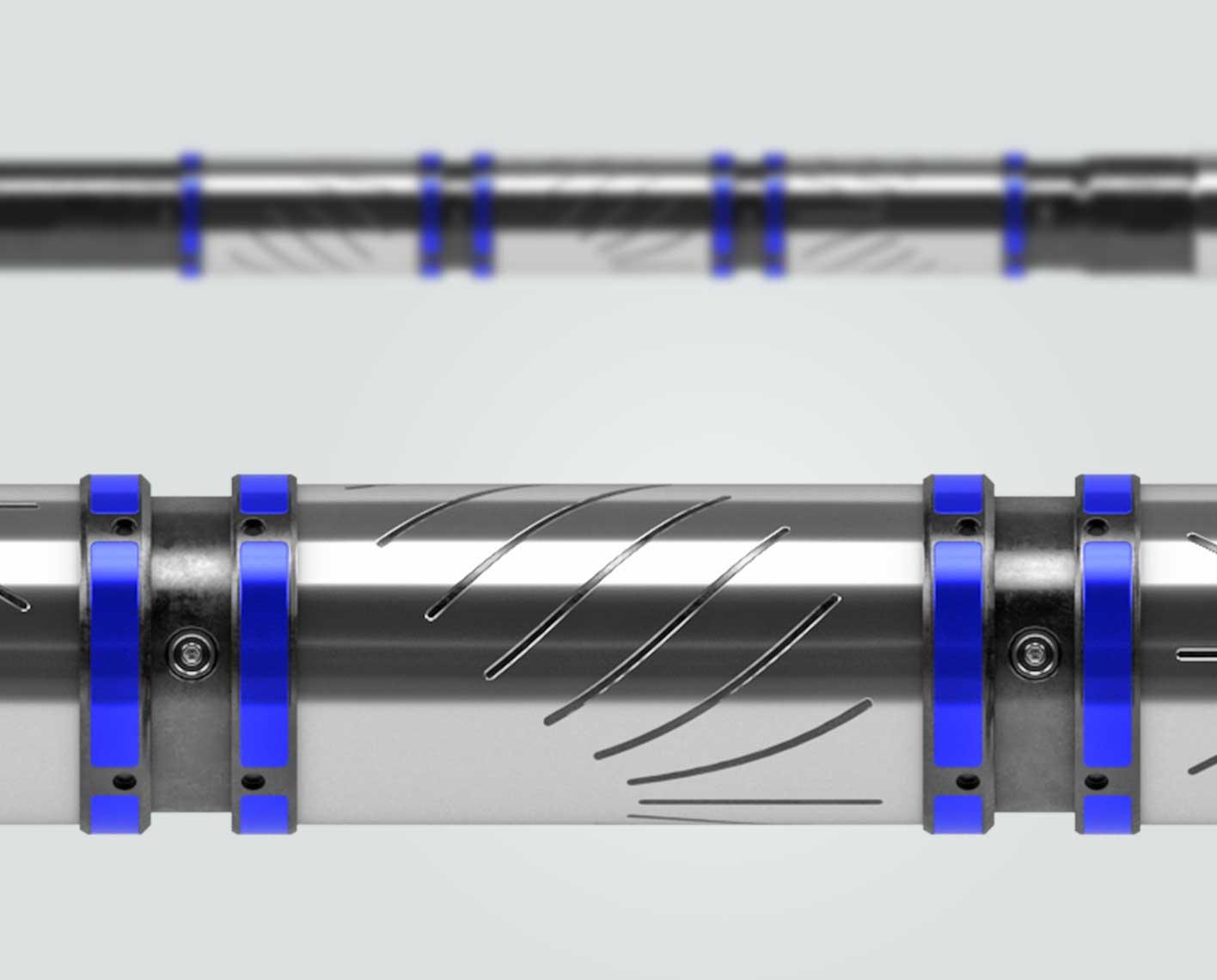
PeriScope Edge
Multilayer mapping-while-drilling service
Achieve the highest confidence for precision steering decisions in razor-thin reservoirs.
Better reservoir understanding with volumetric and 3D insights
GeoSphere 360 3D reservoir mapping-while-drilling service goes beyond reservoir mapping in 2D layers. It provides fluid volumes, bodies, and faults—at reservoir scale. This technology delivers new understanding of uncertainty to a true 3D level. GeoSphere 360 service illuminates the reservoir environment to enable booking more reserves and producing more hydrocarbon per well. You can enhance your completion and production facility design by placing fewer, better wells with greater certainty and, in turn, meet your production targets with less CO2 emissions. The result is improved returns from complex reservoirs with lower impact.
Reservoir-specific GeoSphere 360 service extrapolates shapes that are impossible to see at the wellbore scale for better reservoir understanding in heterogenous or complex reservoirs—and not just 3D structural delineation but also 4D fluid-movement evaluation. By increasing confidence and certainty, operators can drill fewer and more accurate wells using informed, real-time reservoir steering and mapping, which reduces both overall drilling time and reduces carbon footprint.

Contact Mauro Viandante, geosteering and reservoir domain champion, to learn how you can drill with real-time insights on fluid volumes, bodies, faults, and lithology—at the reservoir scale.
Contact our expert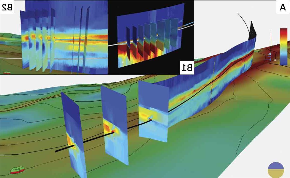
GeoSphere 360 service acquires 360° tensor data and sends it uphole in real time via mud pulse telemetry and wired drillpipe. Cloud computing is used to invert the large datasets with a 2D azimuthal pixel-based algorithm. GeoSphere 360 service produces 3D-resistivity volumes that are filtered to understand the geometrical relationship of the resistive geobodies around the wellbore, calibrating the seismic data and feeding into reservoir modeling workflows.